Short version: on a construction site, a drone is a measuring tool, a progress camera, and a safety scout in one. Used well, it replaces slow ground surveys and risky climbs with fast, repeatable data. Here is where drones earn their place on a build, and what to look for.
What drones do on a construction site
- Topographic and site surveys. Map a site quickly to support design, earthwork, and as-built records.
- Volume measurement. Calculate cut and fill and stockpile volumes from aerial data instead of by hand.
- Progress tracking. Capture the same views on a schedule to document progress for owners and lenders.
- Safety and security. Inspect heights and hard-to-reach areas without putting people at risk, and monitor the site after hours.
The payloads and accuracy you need
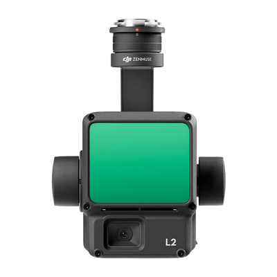
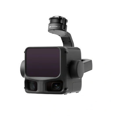
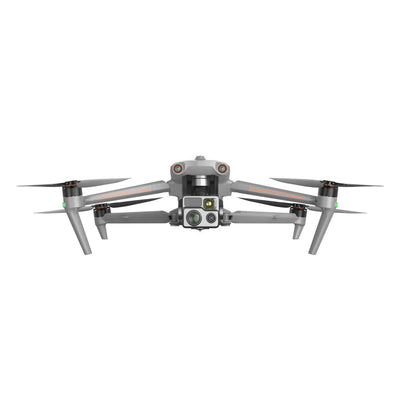
Most construction work is built on mapping. A capable mapping drone with RTK positioning produces measurable orthomosaics and models, and for accuracy that ties to real-world coordinates you add ground control. Our mapping guide covers photogrammetry versus LiDAR, and our RTK guide explains how to hit centimeter accuracy.
Why it pays off
The value is speed and a defensible record. A drone surveys in hours what used to take days, and every flight is a dated, measurable snapshot you can hand to an owner or use to settle a dispute. Catching a grading error early is far cheaper than fixing it after the concrete is poured.
The rules to plan for
Commercial flights need an FAA Part 107 certificate, and sites in controlled airspace need authorization, usually through LAANC. Busy urban jobs may need extra planning for the people and traffic below. Our Part 107 guide covers the basics, and our airspace guide explains where you can fly.
How Scanixx helps
Tell us your sites and the deliverables you owe clients, and we will match a mapping platform and workflow to them. Browse our enterprise drones and mapping payloads, or request a quote.
This guide is general information. Confirm current FAA rules and your accuracy requirements before you operate.