Short version: RTK is what turns a drone from roughly here into here within a couple of centimeters. If your work needs measurable accuracy or repeatable flight lines, RTK matters. If it does not, you may not need it at all. Here is how it works and when to use it.
What RTK is
RTK stands for real-time kinematic positioning. Standard drone GPS is accurate to roughly a meter, which is fine for photos but not for survey. RTK uses a correction signal to bring positioning down to centimeter level in real time, so the drone records precisely where each image or measurement was taken.
How it works
RTK needs a source of correction. That is usually one of two things: a base station you set up over a known point, or a network correction service delivered over the internet, often called NTRIP. The drone combines that correction with its own satellite signal to compute a precise position. Before you rely on the data, confirm the system has reached a fixed solution rather than a rougher float solution.
RTK, PPK, and ground control
- RTK corrects position live, during the flight.
- PPK, post-processed kinematic, records raw data and applies the correction afterward in software, which can be more forgiving if the live link drops.
- Ground control points are marked, surveyed targets on the ground. Even with RTK, they are a good way to check and prove your accuracy.
Many survey teams use RTK or PPK for efficiency and keep a few ground control points to validate the result.
When you actually need it
Reach for RTK when you need measurable, repeatable accuracy: topographic survey, volume calculations, mapping tied to real-world coordinates, and agriculture flight lines you want to repeat exactly. For general inspection and visual documentation, standard positioning is often enough. Match the tool to the deliverable, which we cover in our mapping guide.
Setup basics
- Set the base over a known point, or connect to a trusted network correction service.
- Confirm a fixed solution before you start the mission.
- Check that your coordinate system and datum match what your deliverable requires.
- Keep a few ground control points to verify accuracy.
How Scanixx helps
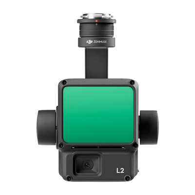
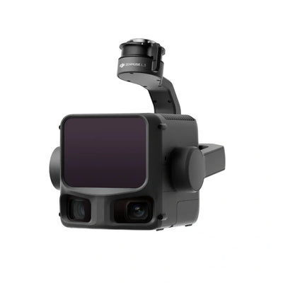
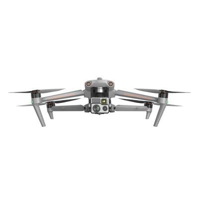
Tell us your accuracy target and we will match an RTK-capable platform and the mapping payload to suit. Browse our mapping payloads or request a quote.
This guide is general information. Accuracy depends on your equipment, correction source, and workflow, so validate results against your own survey requirements.