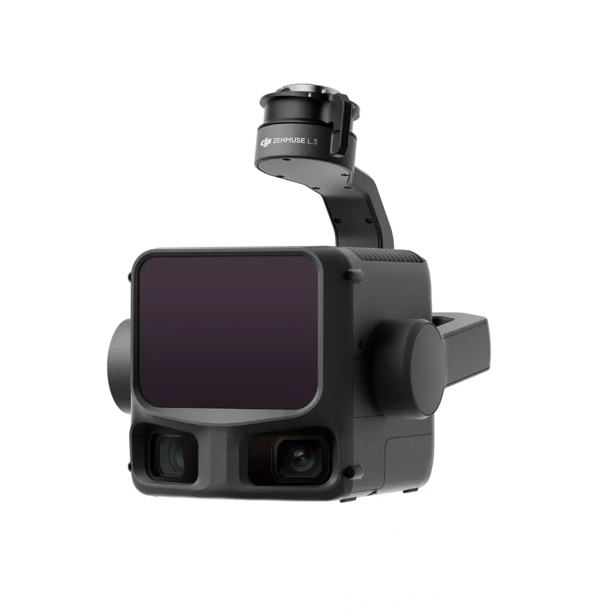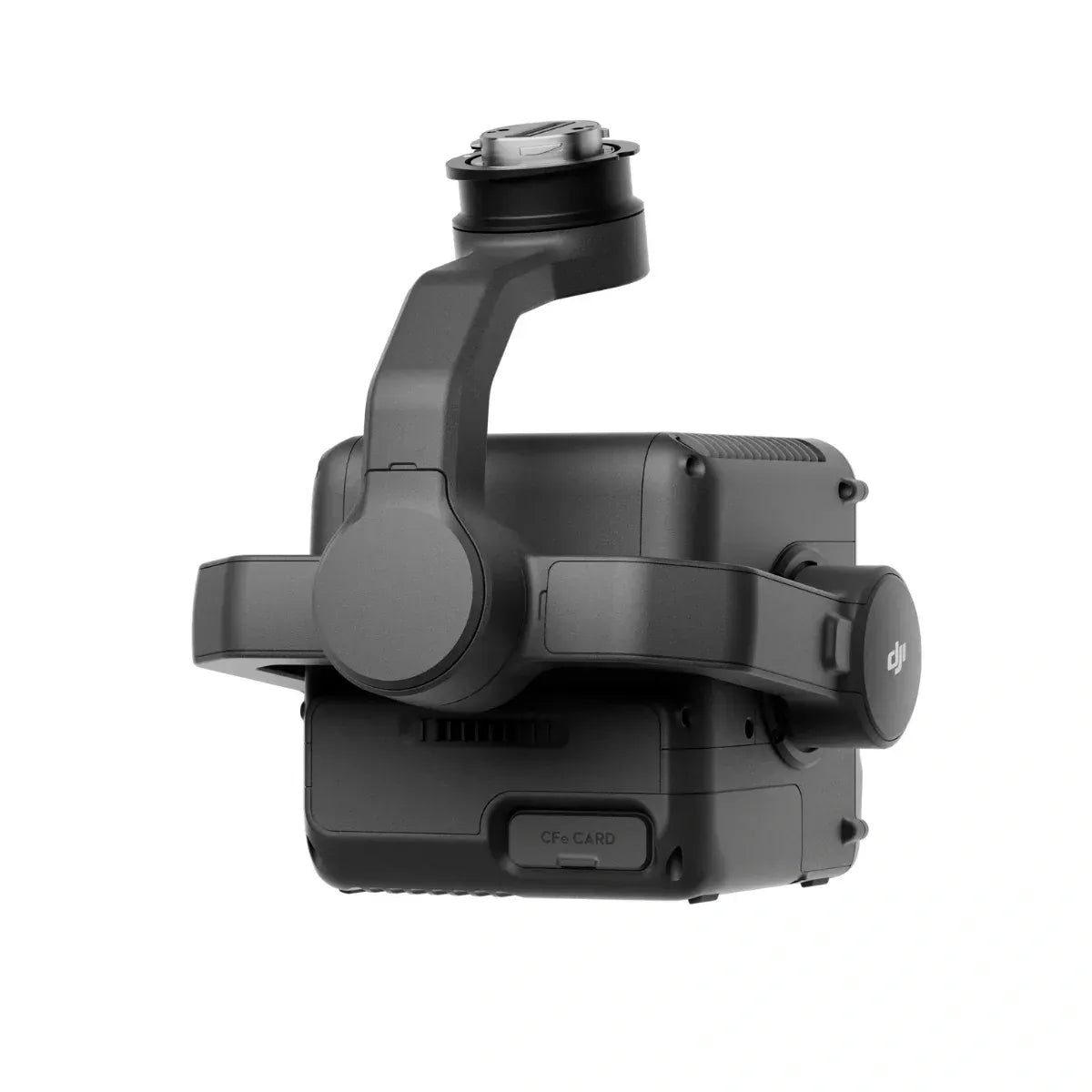

Accurate terrain mapping and large-scale inspections are often limited by short-range LiDAR systems and cumbersome data collection methods. Traditional payloads can struggle with distance, precision, and operational efficiency, slowing workflow and reducing actionable insights.
The DJI Zenmuse L3 Long Range LiDAR System Payload delivers high-precision, long-range scanning for enterprise-grade operations. Integrated with DJI drones, it captures detailed 3D point clouds over expansive areas with minimal setup. Its robust design ensures stable performance even in challenging environmental conditions.
The result is faster, more accurate mapping and inspection missions, giving professionals confidence in every data point collected.


