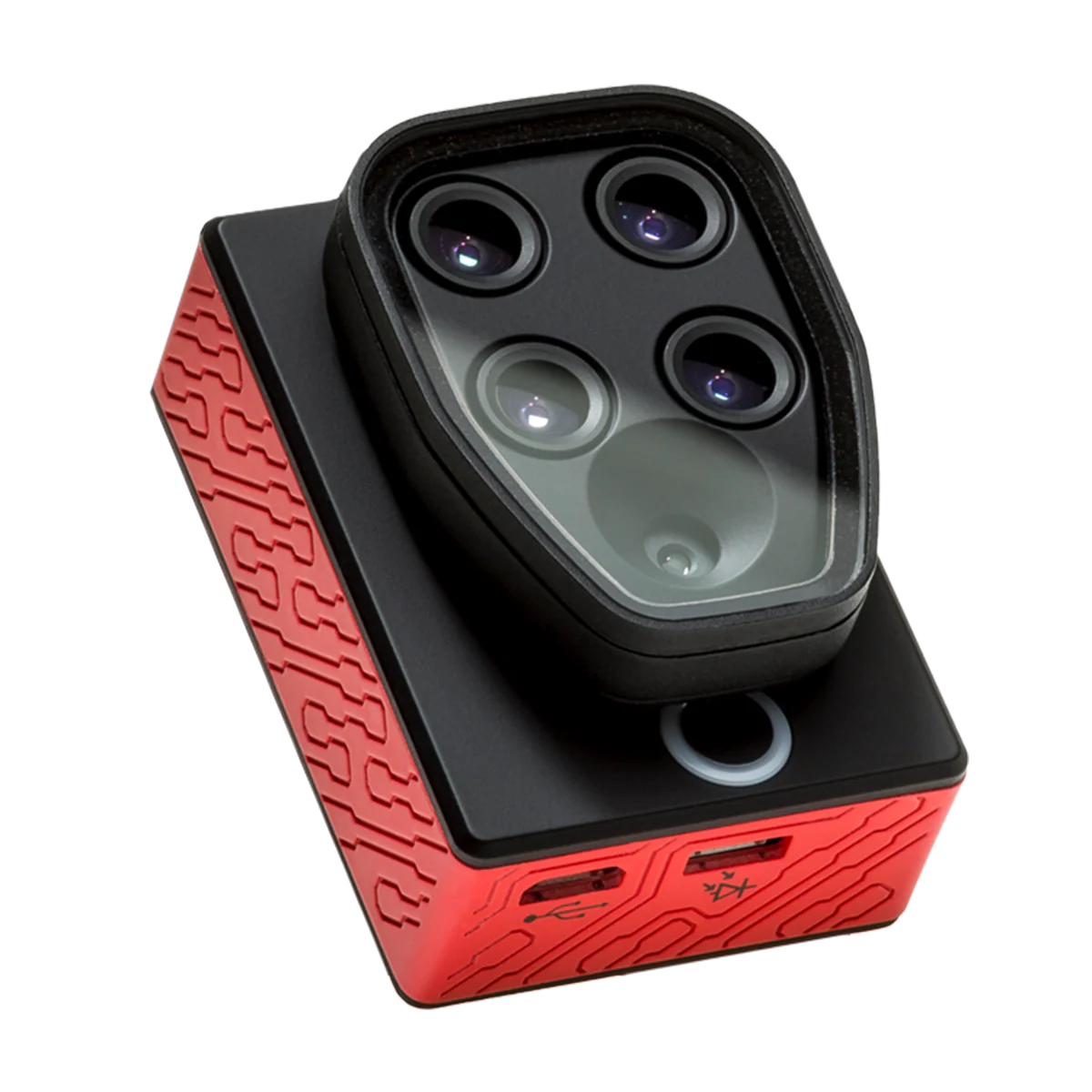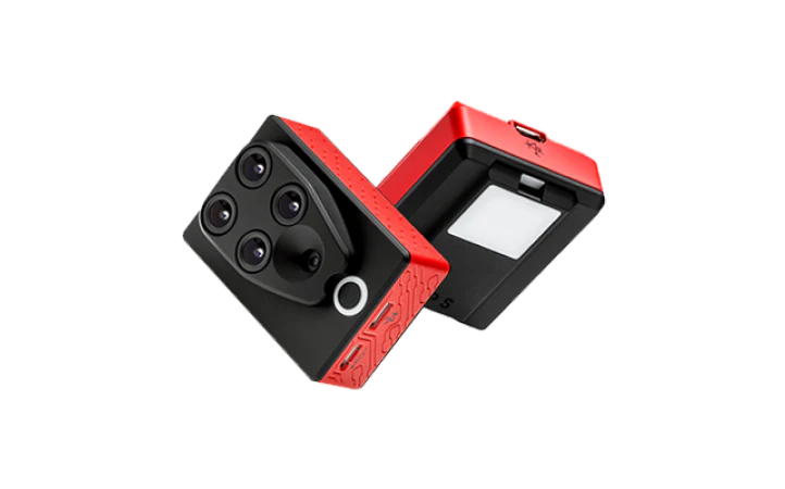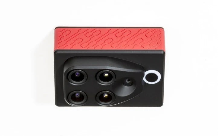


The Parrot Sequoia+ Multispectral Sensor revolutionizes precision agriculture and environmental monitoring by turning any UAV into a high-resolution crop intelligence system.
Designed for professional agronomists, researchers, and surveyors, Sequoia+ captures accurate multispectral and RGB data — empowering users to analyze crop health, optimize yields, and reduce operational costs with scientific precision.
With four calibrated spectral bands (Green, Red, Red Edge, NIR) and a 16 MP RGB sensor, Sequoia+ provides detailed vegetation index maps (NDVI, NDRE, GNDVI) that reveal stress, nutrient levels, and irrigation efficiency across every inch of a field.
Unlike traditional sensors, the Sequoia+ offers simplified radiometric calibration and is compatible with Pix4D and other major photogrammetry software, ensuring easy integration and post-flight analysis.
Lightweight, reliable, and field-proven, the Parrot Sequoia+ helps operators make informed, data-driven decisions — transforming raw aerial imagery into actionable agricultural intelligence.


