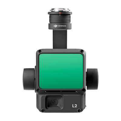
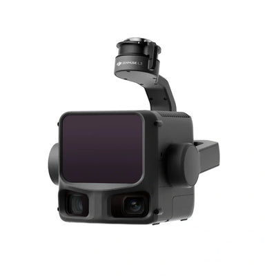
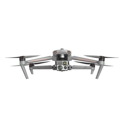
Short version: photogrammetry and LiDAR both turn aerial data into 3D models, but they capture the world in different ways. The right choice depends on your site, the vegetation, and the accuracy your deliverable demands. Often the best answer is both.
Photogrammetry
Photogrammetry builds 3D models and orthomosaics from many overlapping photos. Software finds matching points across images and reconstructs shape, position, and color. It is the workhorse of drone mapping for good reasons:
- Rich visual detail. Because the output comes from real imagery, you get true color and fine surface texture, which is ideal for visual inspection and stockpile work.
- Cost-effective. A capable mapping drone and processing software cover most jobs without a heavy payload.
- Limits. It needs clear sightlines and good, even light, and it cannot see the ground through dense vegetation. It also struggles with thin features and reflective or featureless surfaces.
LiDAR
LiDAR fires rapid laser pulses and measures the time each one takes to return, producing a dense point cloud of direct measurements. Its strengths are different:
- Sees through gaps in vegetation. Because individual pulses slip between leaves and branches, LiDAR can capture the bare-earth terrain under canopy that photos miss.
- Works in low light. It makes its own light, so it does not depend on the sun.
- Captures fine structure. Powerlines, railings, and thin objects come through cleanly.
- Limits. Payloads cost more, and a raw point cloud needs skilled processing to become a finished deliverable.
Accuracy is a workflow, not a sensor
Both methods can reach centimeter-level accuracy, but accuracy comes from the whole process, not the sensor alone. RTK or PPK positioning, good ground control points, sufficient image overlap or scan density, and careful processing matter as much as the hardware. A strong workflow on modest gear beats sloppy work on a premium sensor.
Which should you choose?
- Choose photogrammetry for visual deliverables, open sites, volumetric surveys, and budget-conscious mapping.
- Choose LiDAR for vegetated terrain, bare-earth models, corridor and powerline work, and low-light capture.
- Use both when you need a true-color visual record and accurate terrain under canopy. Many survey teams fly photogrammetry for the picture and LiDAR for the ground.
Start from the deliverable your client signs off on, then work back to the sensor and the workflow that produce it.
How Scanixx helps
Tell us your site, canopy, and accuracy target and we will match a mapping platform or LiDAR payload to the job. Browse our mapping and survey payloads or request a quote.
This guide is general information to help you choose. Real-world accuracy depends on your equipment, ground control, and processing, so validate results against your own requirements.