RTK & GNSS Drones

-

 Sold out
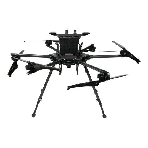
DJI Matrice 400 Enterprise Drone - BS100 Battery Station + TB100 Battery Bundle
Regular price $13,998.00Regular priceUnit price per -

 Sold out
DJI D-RTK 3 Multifunctional Station
Regular price $2,365.00Regular priceUnit price per -
 Sold out
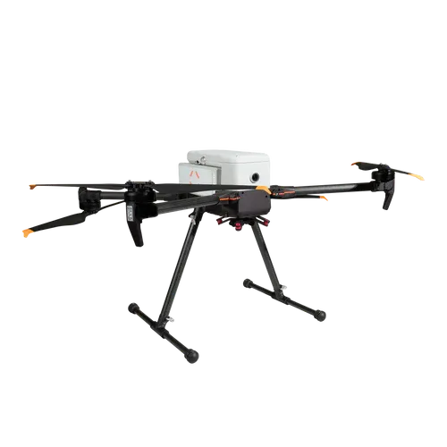
Inspired Flight IF1200A - BlueUAS
Regular price $39,750.00Regular priceUnit price per -
Sold out
Inspired Flight IF1200A Drone - Blue Herelink
Regular price $32,000.00Regular priceUnit price per -
 Sold out
Inspired Flight IF800 TOMCAT Quadcopter Blue Herelink Ground Control Station
Regular price $17,950.00Regular priceUnit price per -

 Sold out
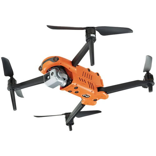
Anzu Raptor w/ RTK Module and Charging hub + 1-year Care Protection
Regular price $5,499.00Regular priceUnit price per -
Sold out
Anzu Raptor T with RTK Module, Speaker and Charging Hub + 1-year Care Protection
Regular price $8,099.00Regular priceUnit price per -

 Sold out
Autel Robotics EVO II Pro 6K RTK Rugged Bundle V3
Regular price $2,999.00Regular priceUnit price per -
Sold out
Autel Robotics EVO II Dual 640T RTK Rugged Bundle V3
Regular price $5,799.00Regular priceUnit price per -
 Sold out
Autel Robotics EVO II Dual 640T Enterprise Bundle V3
Regular price $5,299.00Regular priceUnit price per -
Sold out
Autel Robotics EVO II Pro 6K Enterprise Bundle V3
Regular price $3,149.00Regular priceUnit price per -
 Sold out
Autel Robotics EVO II Pro 6K Rugged Bundle V3
Regular price $2,099.00Regular priceUnit price per


Questions, answered by drone specialists
What is RTK on a drone and how is it different from GPS?
What is the difference between RTK and PPK?
Do you need ground control points with an RTK drone?
What is GNSS and how does it relate to RTK?
What jobs need an RTK drone?
What support do you get buying an RTK drone from Scanixx?

Choosing the right RTK or GNSS drone for survey-grade accuracy
RTK and GNSS drones turn aerial data into survey-grade deliverables by reaching centimetre-level positioning where standard GPS is accurate only to a metre. The right platform depends on your workflow: RTK corrects position live during the flight, while PPK post-processes the data afterward for robustness where a signal link is unreliable, and many platforms support both. This collection brings together drones with multi-constellation GNSS receivers and RTK capability for surveyors, engineers, and mapping professionals who measure success in centimetres.
For survey and construction teams, the value of RTK is measured in fieldwork saved: far fewer ground control points to place and survey by hand, and data that is accurate the moment it is captured. That is the difference between a drone that produces nice images and one that produces a deliverable you can stake a report on. If you are comparing RTK and PPK workflows, base station options, or GNSS performance, the Scanixx team verifies every spec against the manufacturer and helps you match the platform to your deliverables before you commit. For fleet or multi-unit orders, we prepare custom quotes with volume pricing.
Find your drone match within a minute.
Answer a few quick questions about your operation and we will match you with the right system from our full range, or prepare a specialist quote within 24 hours.
- Built around your exact operation, budget and use case
- Matched against our full range with verified specifications
- Instant product match or a specialist quote within 24 hours

