


Autel Robotics EVO II Dual 640T RTK Rugged Bundle V3
Honestly wasn't sure about dropping 9k on a drone without seeing it first. Emailed them a few questions and got a proper answer back same day, not some copy paste. Pulled the trigger and no regrets.
We were about to order the wrong spreader setup for our acreage. The guy I spoke to actually talked us into a different config that fit better. Saved us a costly mistake. Two units running now.
Drone showed up well packed and the QYSEA works great for our hull checks. Took a bit longer to ship than I hoped but they kept me posted. Had one setup question and they walked me through it over chat.
Bought from a couple other places before and it always felt like ordering off Amazon. These folks actually know the gear. Asked a dumb question about payload compatibility and got a real answer, not a sales pitch.
Had a bunch of technical questions before buying and they came back quick with exactly what I needed. Ordered two units. Setup went fine and when I hit a snag they got right back to me. Would buy again.
Wanted a saltwater drone that could drop bait at distance. They steered me to the SwellPro and it has held up to a full season offshore. Salt and spray and all. No complaints so far.
First time buying enterprise gear online and I was nervous about it. They sent over a quote with everything itemized, no hidden stuff. Showed up when they said it would. Smooth from start to finish.
Good experience overall. Pricing was fair and the drone is exactly what we needed for tower inspections. Only thing is I wish the lead time was a little shorter, but they were upfront about it so no surprises.
Ordered a thermal unit for search and rescue work with our county. They understood exactly what we were doing and made sure the payload was right before we paid. That kind of attention is rare these days.
Been flying for about eight years and dealt with a lot of vendors. These guys actually respond fast and know their stuff. Got the LiDAR setup dialed in for our quarry work. Will be ordering again.
Genuine gear, fully backed
Genuine gear, fully backed
Every product we sell is genuine OEM and comes with the full manufacturer warranty. We take care of sourcing, shipping, and after-sales support, so you have one team to deal with and a real person who knows the equipment, not a call center. Have a question about a specific unit before you order? Email info@scanixx.com and we will give you a straight, honest answer
Full manufacturer warranty
Full manufacturer warranty
All products carry the full manufacturer warranty. Coverage period and terms vary by brand and product, typically 12 months on hardware against defects in materials and workmanship. To claim warranty, contact us directly at info@scanixx.com with your order number and a description of the issue. We handle the process on your behalf.
Expert Support
Expert Support
Our team knows these products inside out. Reach us before or after your purchase for spec advice, compatibility questions, or setup support. We are here to make sure you get the right gear and get it working.
Shipping & Delivery
Shipping & Delivery
We ship across the US with fully insured delivery. Orders ship in 3 to 21 days, and larger orders are prepared to order. Complimentary insured shipping on orders over $599 within the contiguous U.S., with live tracking on every shipment.
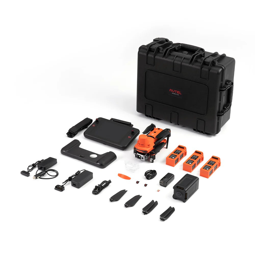
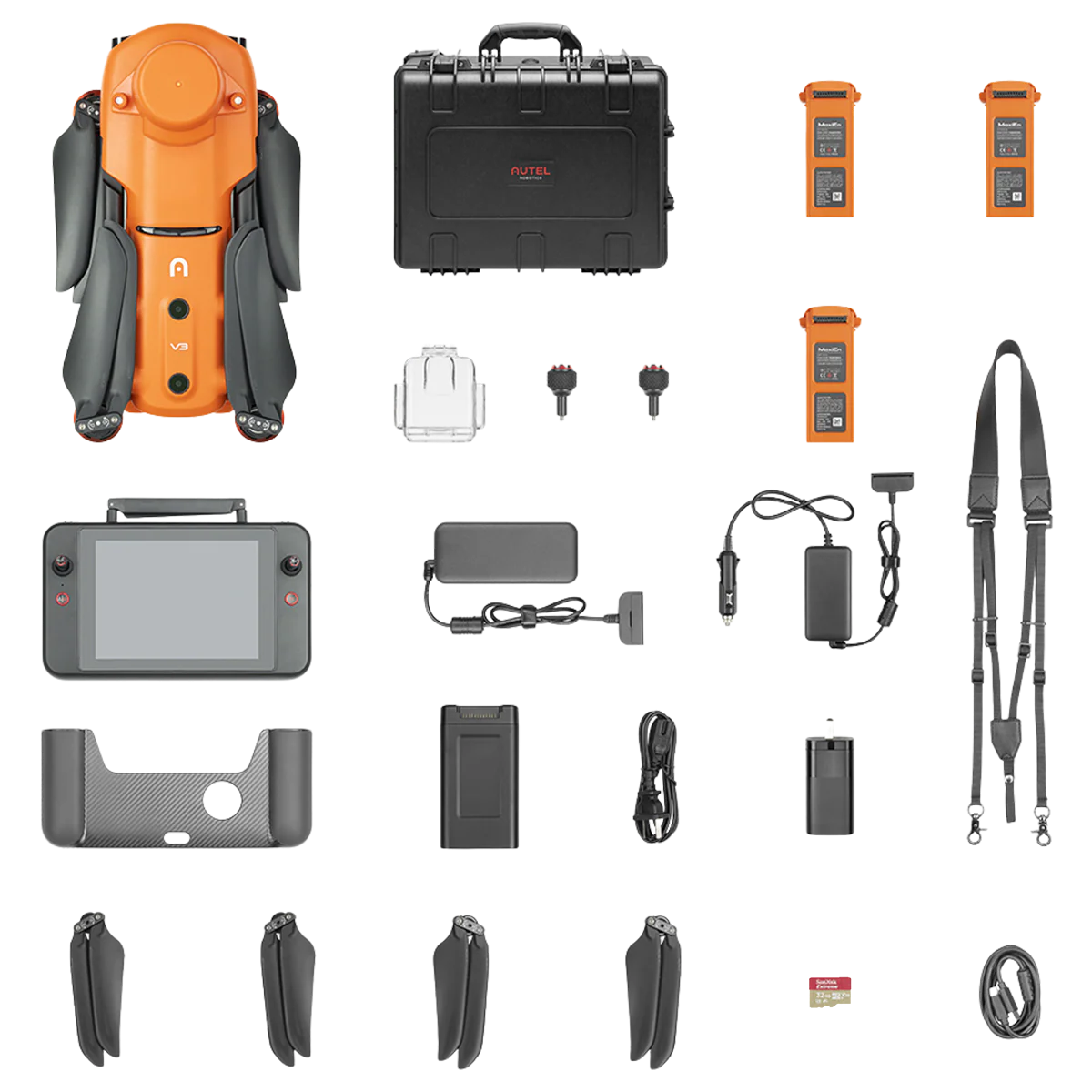
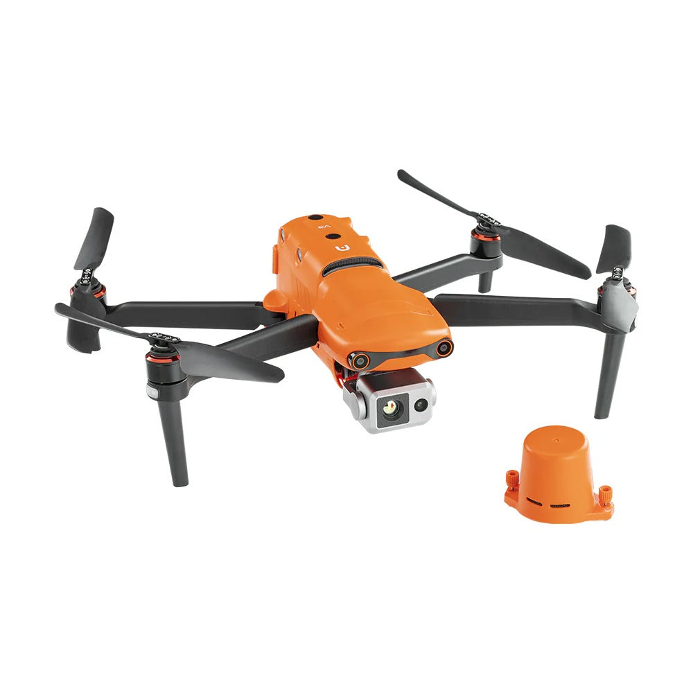
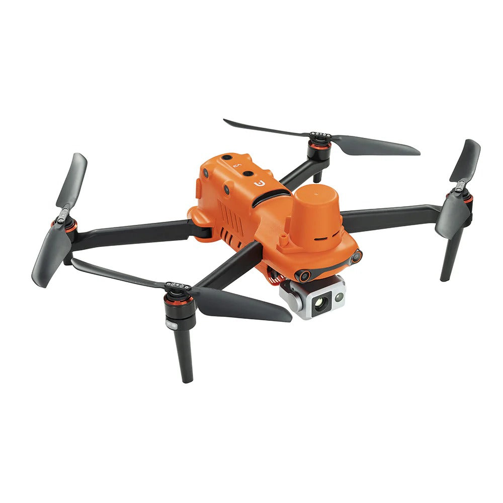
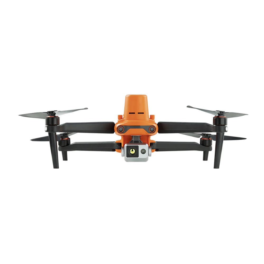
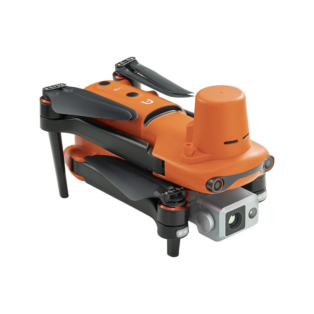
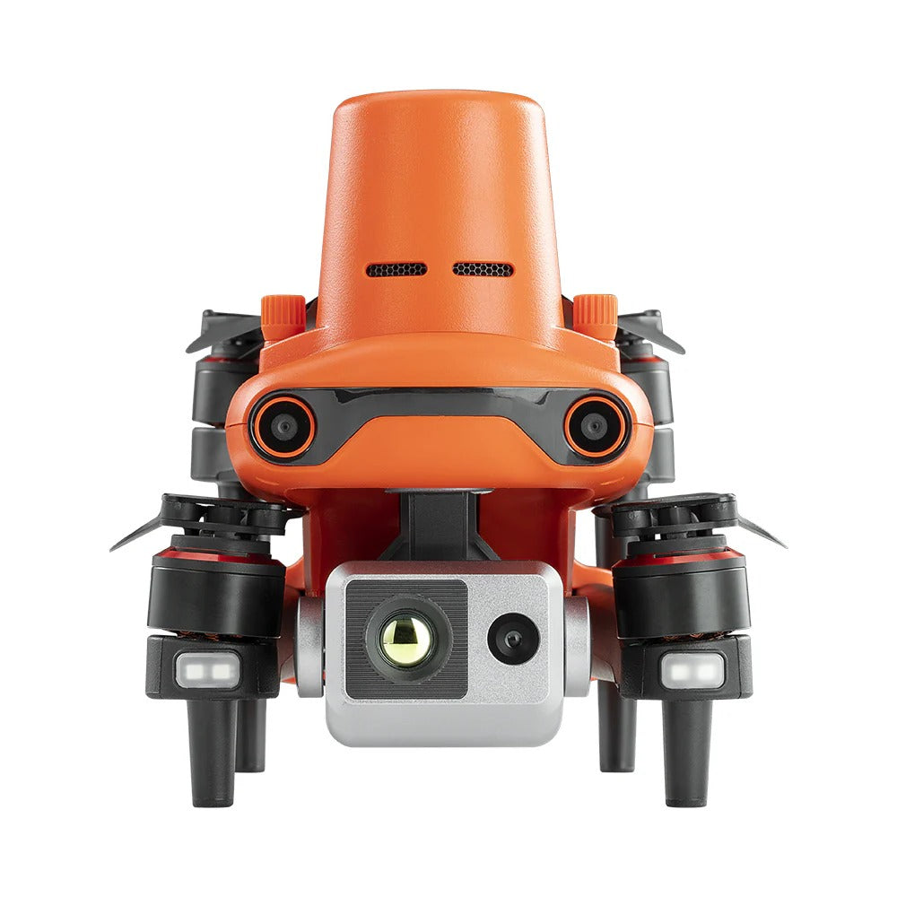

Survey-Grade Accuracy and Thermal Vision in One Drone
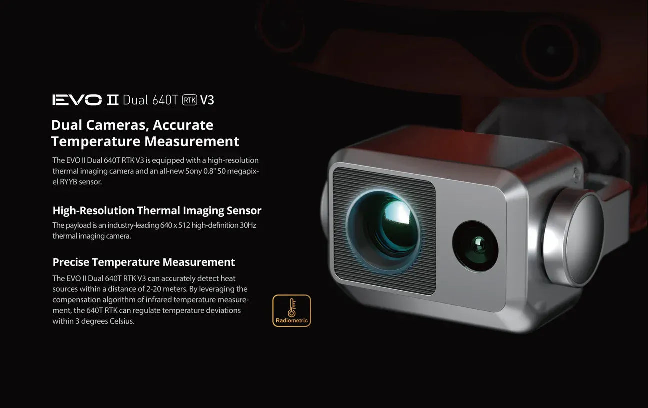
Re-flying a map because the positioning drifted wastes a whole day. The Autel EVO II Dual 640T RTK Rugged Bundle adds an integrated RTK module to a 640x512 thermal and 50 MP visual gimbal, so you capture centimeter-accurate, repeatable data in a single 38-minute flight.
- Centimeter RTK: an integrated dual-frequency RTK module with PPK support delivers survey-grade positioning for mapping and documentation.
- 640x512 radiometric thermal: a 13mm thermal camera with 16x zoom measures from -20 to 550 C for inspection and anomaly detection.
- 50 MP RYYB visual: an f/1.9 low-light camera shoots 8K photos and 4K HDR video for detailed survey imagery.
- 38-minute endurance: SkyLink 2.0 holds a stable FCC link out to 6.2 mi (10 km) across a 38-minute flight.
- 360-degree avoidance: 19 sensor groups map obstacles in real time for safe automated missions.
From corridor and powerline mapping to solar-farm and bridge inspection, the EVO II Dual 640T RTK Rugged Bundle is built for surveyors, mapping teams, and utility inspectors who need accuracy they can defend.
Order the Autel EVO II Dual 640T RTK Rugged Bundle from Scanixx with free US shipping, or request an enterprise quote for fleet pricing.
Ordering for a team, fleet, or larger operation?
We work directly with businesses to spec the right systems, negotiate volume pricing, and turn around a tailored quote within 24 hours. Direct access to people who know this equipment.


Recently Viewed Products
Find your perfect drone in under a minute
Answer a few quick questions about your operation and we will match you with the right platform from our full range, or connect you with a specialist for a tailored quote.
- Built around your exact operation, budget and use case
- Matched against our full range with verified specifications
- Instant product match or a specialist quote within 24 hours


