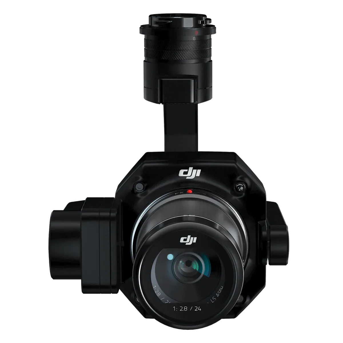
Surveying, mapping, and inspection missions demand precise imagery and stable operation, but conventional payloads often require multiple flights and complex post-processing. Standard gimbals may struggle with stabilization, leading to blurred images and compromised data accuracy.
The DJI Zenmuse P1 Camera and Gimbal delivers full-frame photogrammetry capability with an integrated stabilization system for enterprise drones. Engineered for accurate georeferenced imagery and smooth operation, it ensures consistent performance in challenging flight conditions. Its combination of camera and gimbal reduces workflow complexity while maximizing data quality.
The result is faster, more precise mapping and inspection missions, with professional-grade results every flight.

